
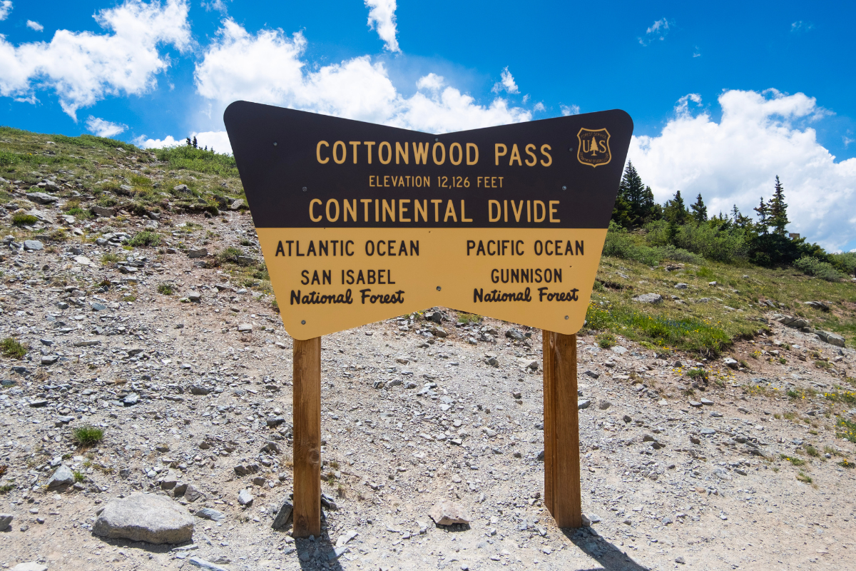
Cottonwood Pass sits right on Cottonwood Pass Road between Crested Butte and Buena Vista, and if you are already driving through, we highly recommend making the stop. We made this stop on our way home from our Crested Butte trip, and it ended up being one of the best unplanned parts of the whole trip. Sweeping views of the Collegiate Peaks and the Sawatch Range open up at 12,126 feet, and a short trail right at the summit lets you stretch your legs on the Continental Divide itself.
Watch Cottonwood Pass
Where Is Cottonwood Pass Colorado
Cottonwood Pass connects Buena Vista on the east side to Taylor Park and Crested Butte on the west side, crossing the spine of the Sawatch Range along the way. The summit sits at 12,126 feet, making it the highest paved crossing of the Continental Divide in North America. On the Buena Vista side it is Chaffee County Road 306, and once you cross the summit it becomes Gunnison County Road 209 as it winds down toward Taylor Park Reservoir.
If you are road tripping between Crested Butte and Buena Vista or the Front Range, this pass is a natural stopover, and honestly a prettier one than most people expect from what is technically just a mountain pass road.
Get directions to Cottonwood Pass on Google Maps
What Is the Continental Divide?
The Continental Divide is the line running through the Rocky Mountains that separates North America’s watersheds. Rain or snow that falls on the east side of the divide eventually makes its way toward the Atlantic Ocean by way of the Gulf of Mexico. Everything that falls on the west side flows toward the Pacific Ocean, largely through the Colorado River system.
Standing at the summit of Cottonwood Pass, you are literally standing on that line. It is a small thing conceptually, a ridge of dirt and rock, but it is the reason the water on one side of the parking lot and the water on the other side of the parking lot end up in two different oceans thousands of miles apart. There is something worth pausing for in that.
Cottonwood Pass is the highest paved point where you can drive across that line in the entire country, which is part of what makes the stop feel special even if you only get out of the car for ten minutes.

The Views at the Summit
At 12,126 feet, you are well above treeline and the views open up in every direction. To the east, the Collegiate Peaks, the cluster of Colorado 14ers named after Ivy League schools, rise across the Arkansas Valley. To the west, you look out over Taylor Park and toward the Elk Mountains near Crested Butte. It is a genuine 360-degree alpine panorama, and unlike a lot of high alpine views in Colorado, you do not have to earn this one with a long climb. You can see almost all of it from the parking lot.

Cottonwood Pass Overlook Hike
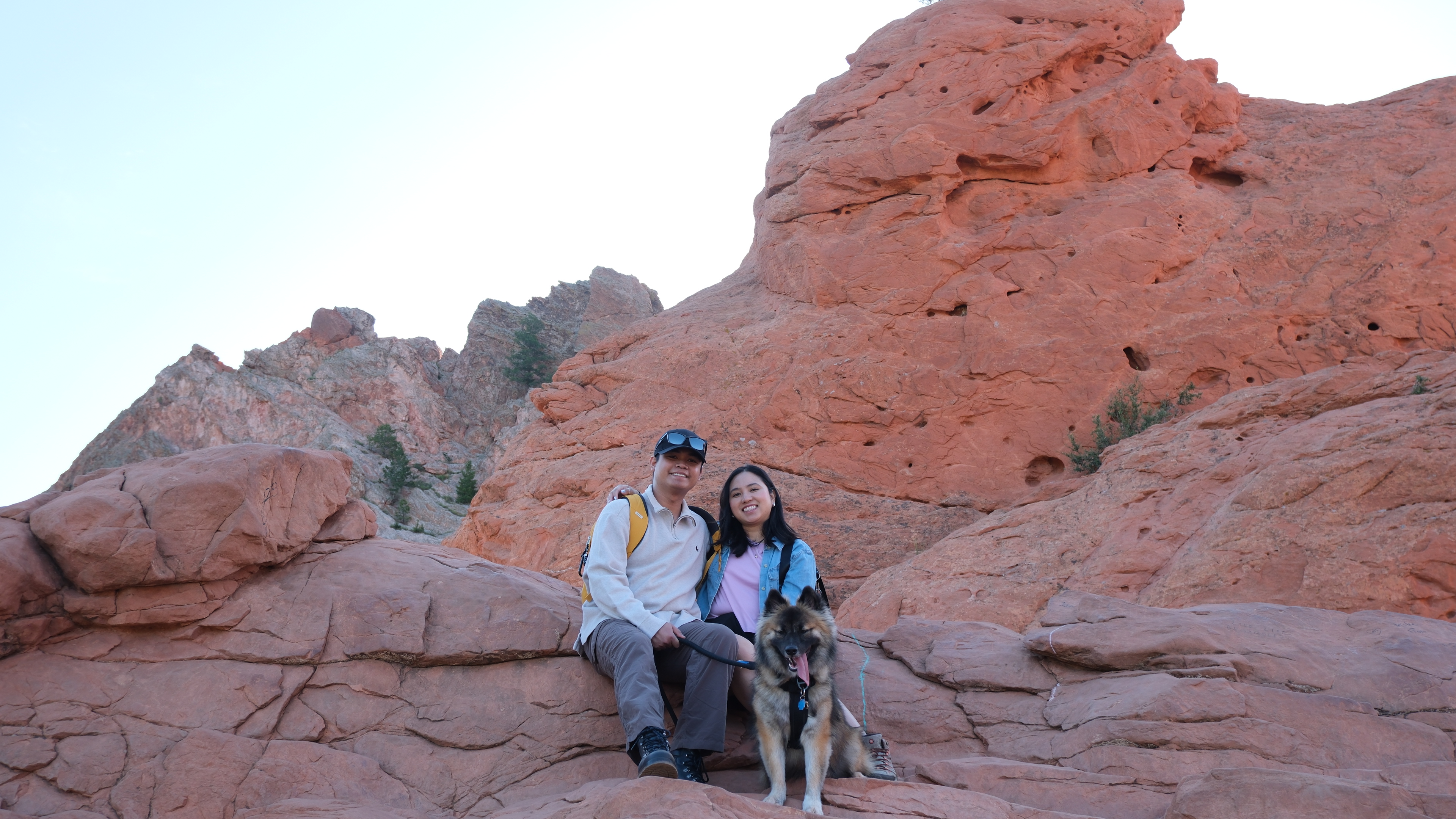
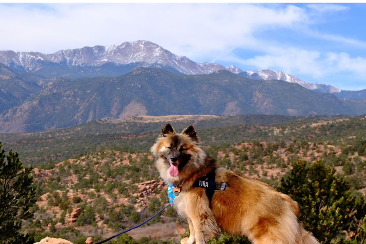
If you have a little more time, the short hike up to the Cottonwood Pass Overlook is worth doing. We hiked it with Tira and it was an easy, rewarding stretch of legs after a long drive.
The trail follows a section of the Continental Divide Trail from the summit parking lot, climbing gradually to a local high point with expansive views back over the Collegiate Peaks. There is a small rock shelter at the top that hikers have built up over the years, useful if the wind is strong, which it very often is at this elevation. The entire route sits above treeline, so there is no shade and very little wind protection anywhere along the way.

We also spotted a small alpine pond in the basin below the overlook, a nice detail to look for once you reach the top. Looking around from the summit, there also appeared to be additional trails continuing past our turnaround point as well as trails starting from across the road, so if you have more time and energy than we did that day, there is more of the Continental Divide Trail to explore in both directions.

Watch the Weather
We had a bit of an afternoon storm roll through while we were up there. It amounted to a light sprinkle and a few flurries of snow, nothing serious, but we started our descent right away once it began. This is above treeline terrain at over 12,000 feet, and afternoon thunderstorms build fast in the Colorado high country during summer. If you see clouds building, do not wait around. Aim for a morning visit when you can, keep an eye on the sky, and have a rain layer in the car just in case.
Tips for Visiting Cottonwood Pass
- Parking fills up. The summit lot is small and popular, especially midday in summer. If you have flexibility, an early morning or early evening stop gets you a much easier parking experience and better light for photos.
- Bring a jacket regardless of the season. It is windy at the summit almost year round, and temperatures at 12,000 feet run well below whatever it feels like at the trailhead in Buena Vista or Crested Butte.
- The road closes seasonally. Cottonwood Pass Road typically closes from around October through May due to snow. Check current conditions before you plan a stop outside of summer or early fall.
- This is a great fall color stop. The aspen groves along the lower stretches of the road are well known for turning in late September.
- Leave no trace. This is fragile alpine tundra. Stay on the trail, and pack out anything you bring in.
Is Cottonwood Pass Worth the Stop?
Absolutely! If you are already driving between Crested Butte and Buena Vista, or using Cottonwood Pass as an alternative to Monarch Pass on your way through central Colorado, this is not a detour, it is on the way. Even if you only pull off for the view and skip the hike entirely, standing on the Continental Divide at 12,000 feet with the Collegiate Peaks in one direction and the Elk Mountains in the other is worth the ten minutes it takes.
We would make this stop again without hesitation, and if you have a dog with you, this is one of the easier ways to give them a legitimate high alpine hike without committing to a full day on the trail.

More Colorado Hiking & Camping Adventures

Colorado
First Time in Crested Butte: The Complete Wildflower Itinerary

Colorado
Scarp Ridge Loop: 10 Best Tips and 1 Mistake to Avoid

Colorado
Sky Pond Hike: Rocky Mountain National Park Guide

Colorado
Rocky Mountain National Park: The Ultimate 1 Day Itinerary

Colorado
St. Mary’s Glacier: 7 Best Tips and 1 Mistake to Avoid

Colorado
Ouray Perimeter Trail: Dog Friendly Hike Guide

Colorado
Mount Blue Sky: The Highest Road in the US

Camping
Crawford State Park: Dispersed Camping Guide

Colorado
Great Sand Dunes National Park: The Ultimate Dog Friendly Guide
Everything you need to pack for a pet friendly road trip, from snacks and gear to must-have items for your pup. Sign up below to get it free.
Free Download
Get the Free Printable Road Trip Checklist
It is completely free. Just drop your email below and we will send it straight to your inbox. Check off what you already have, shop what you still need, and hit the road completely ready.



Leave a Reply